North Carolina
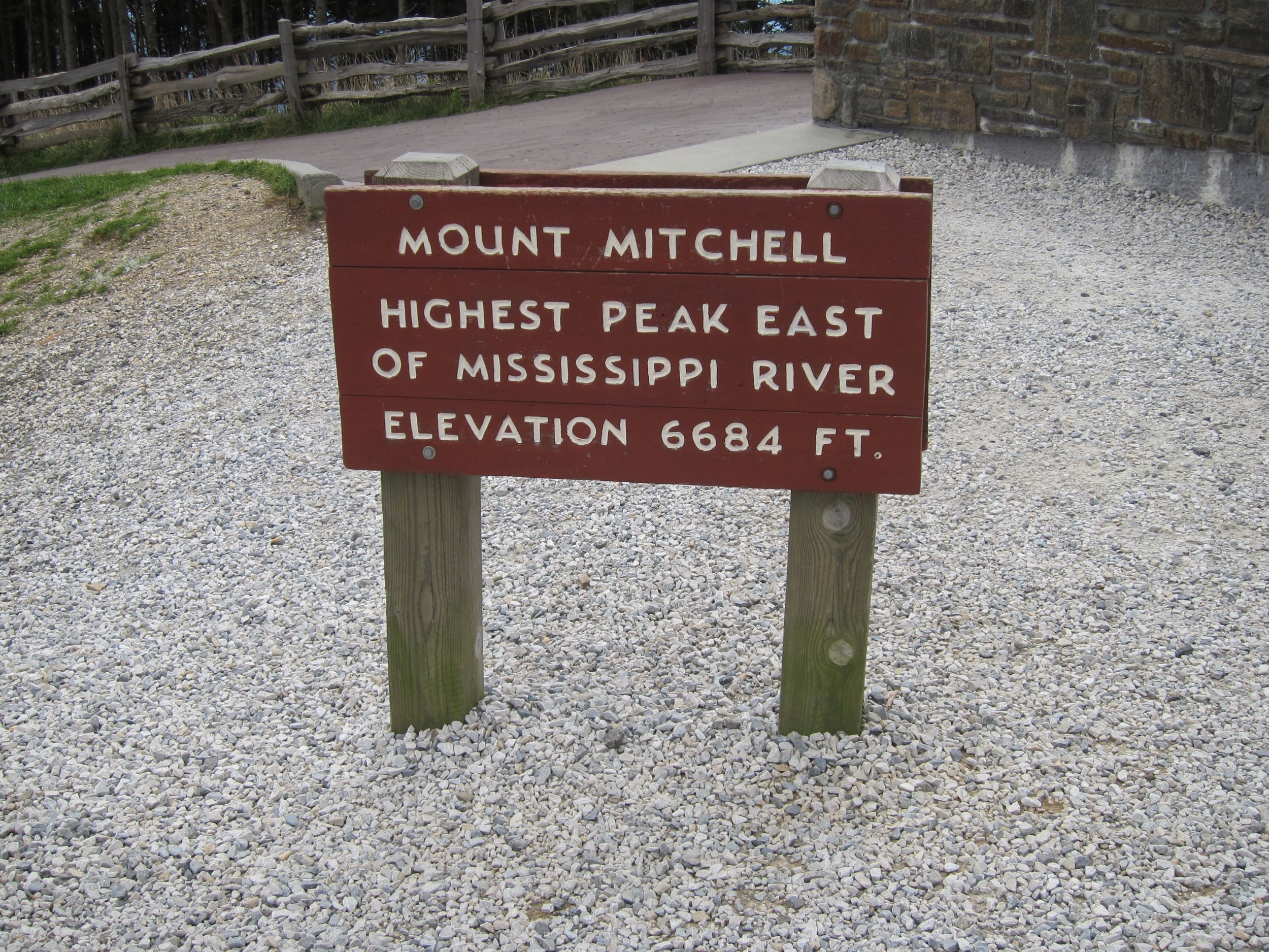
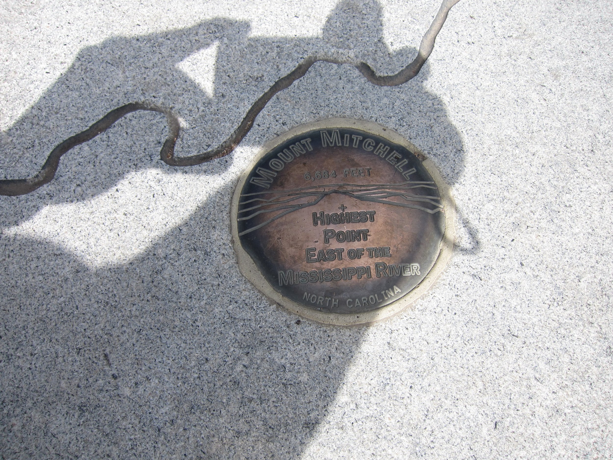
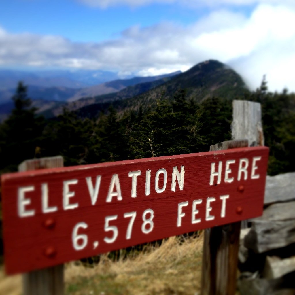
#19 Mountain Mitchell, elevation 6,684 ft.
Pinnacle. Palimpsest. Fog.
Yes, it's the highest point east of the Mississippi, but where is the love for the apex of the East Coast?
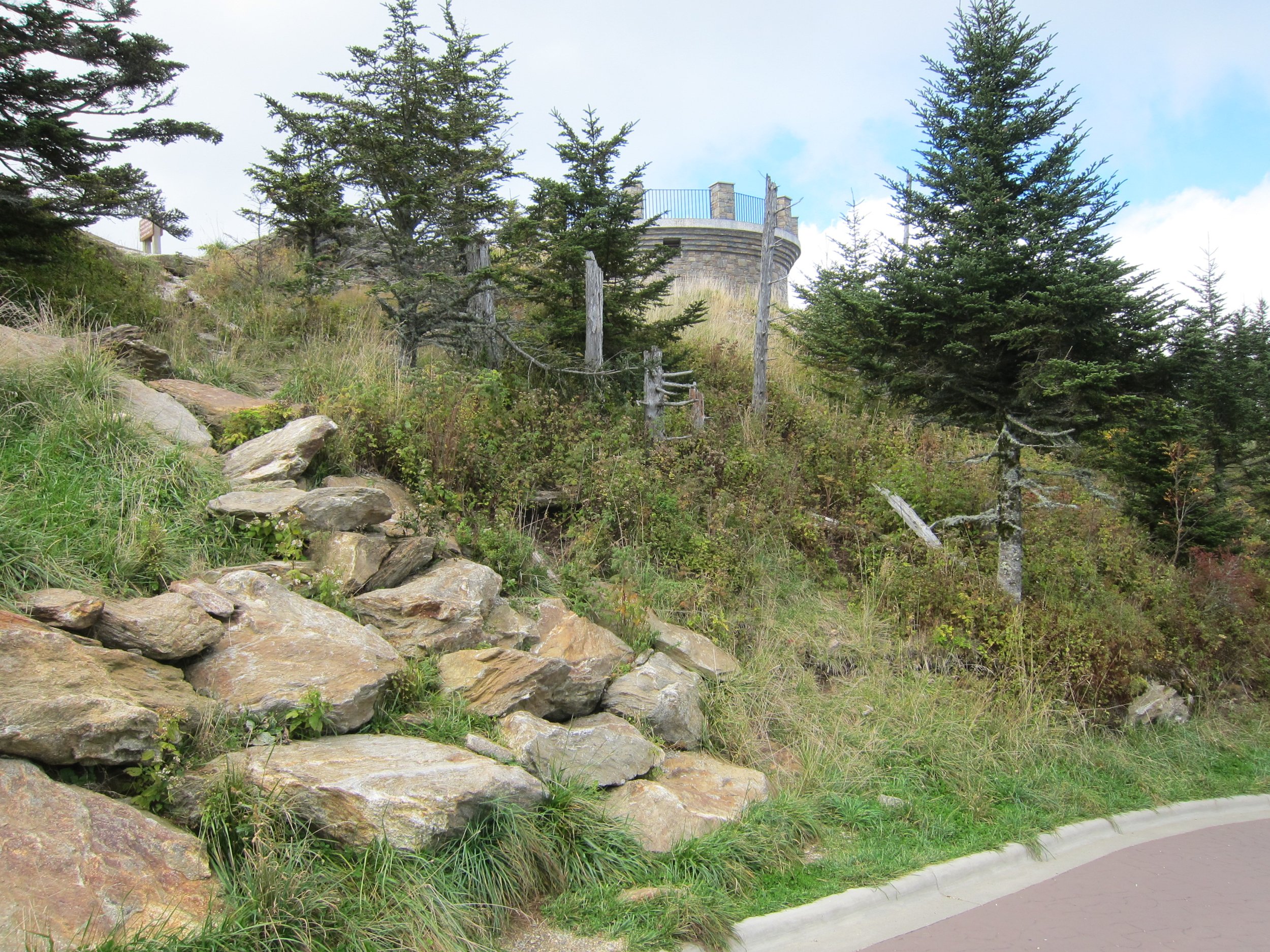
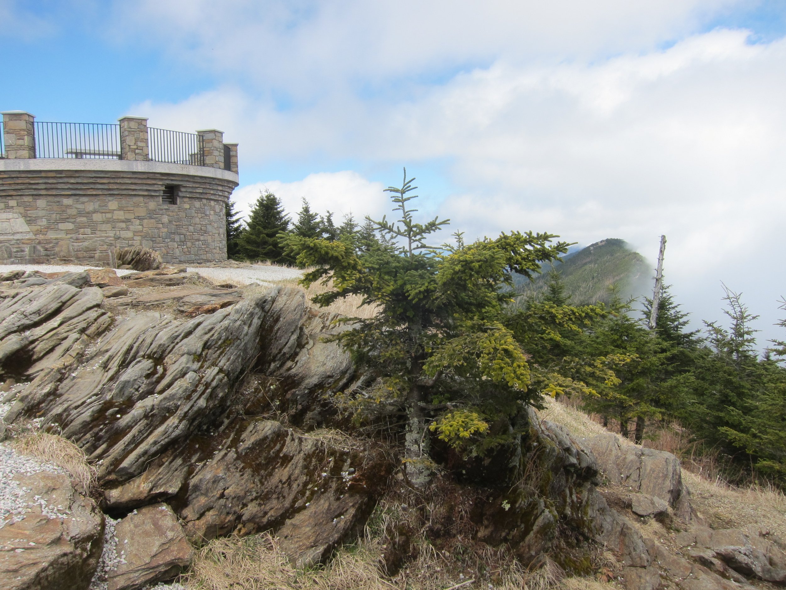
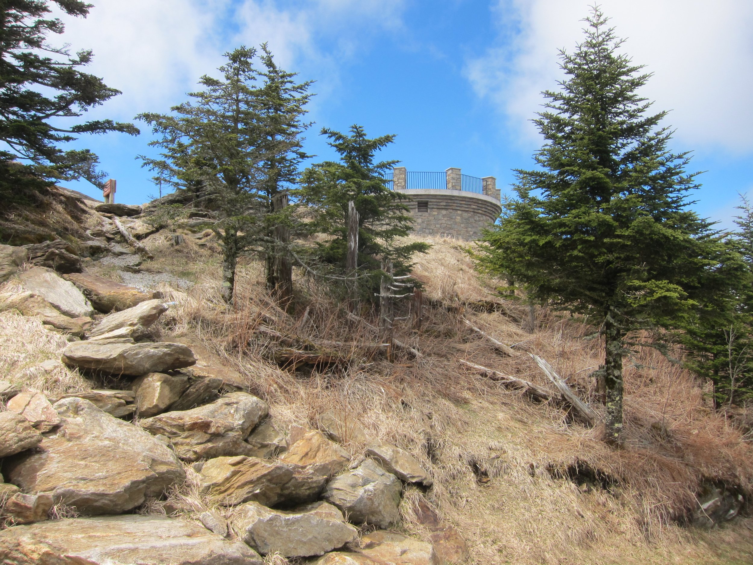
There is no particularly scenic trail up it, and the Appalachian Trail doesn't cross it, but many structures of varying ambition and design have been built atop it and around it. Today there is a snack vendor, souvenir shop, and parking lot, but the tower suffers from the pseudo-monumental disease afflicting most structures of the type.
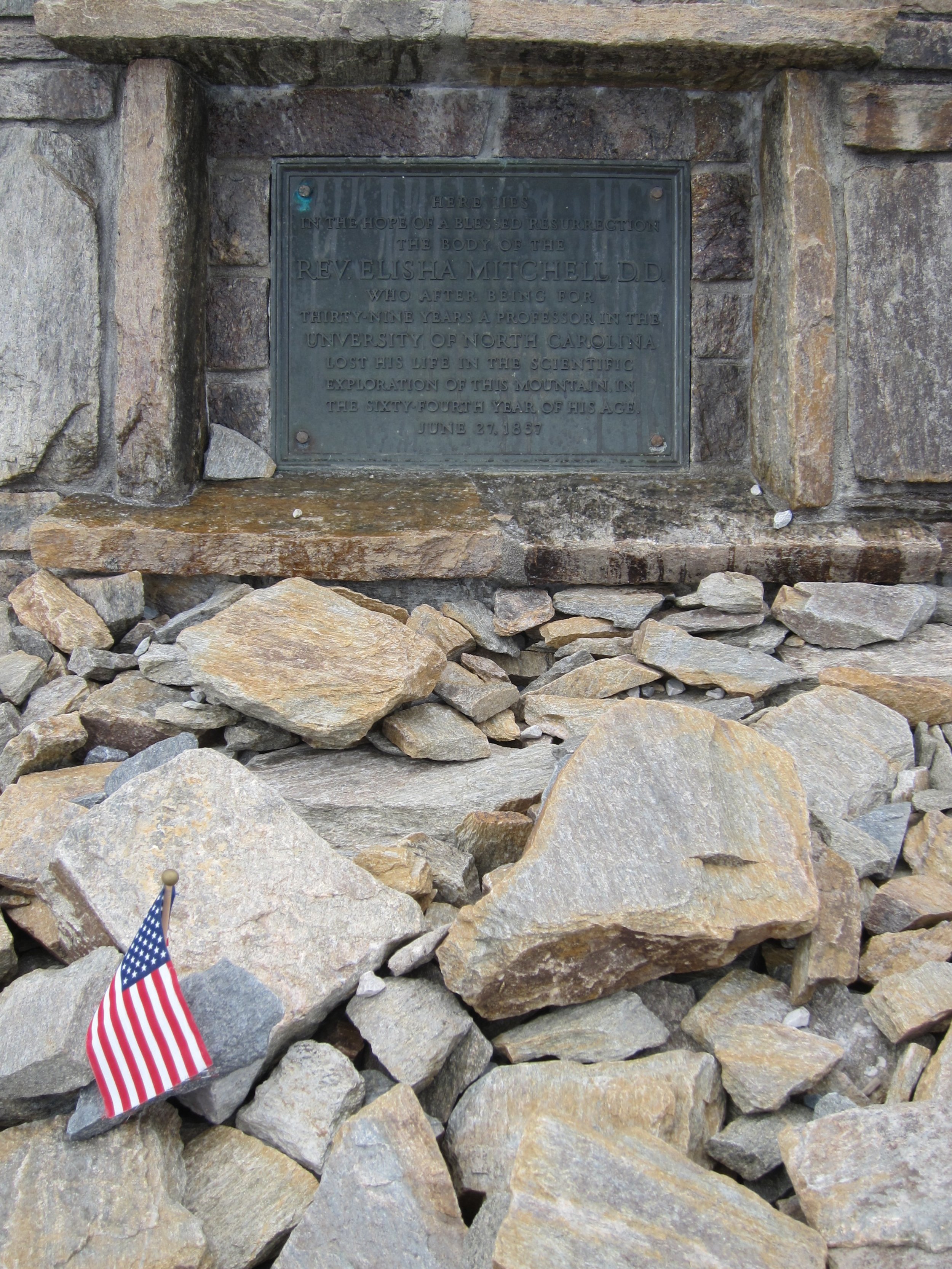
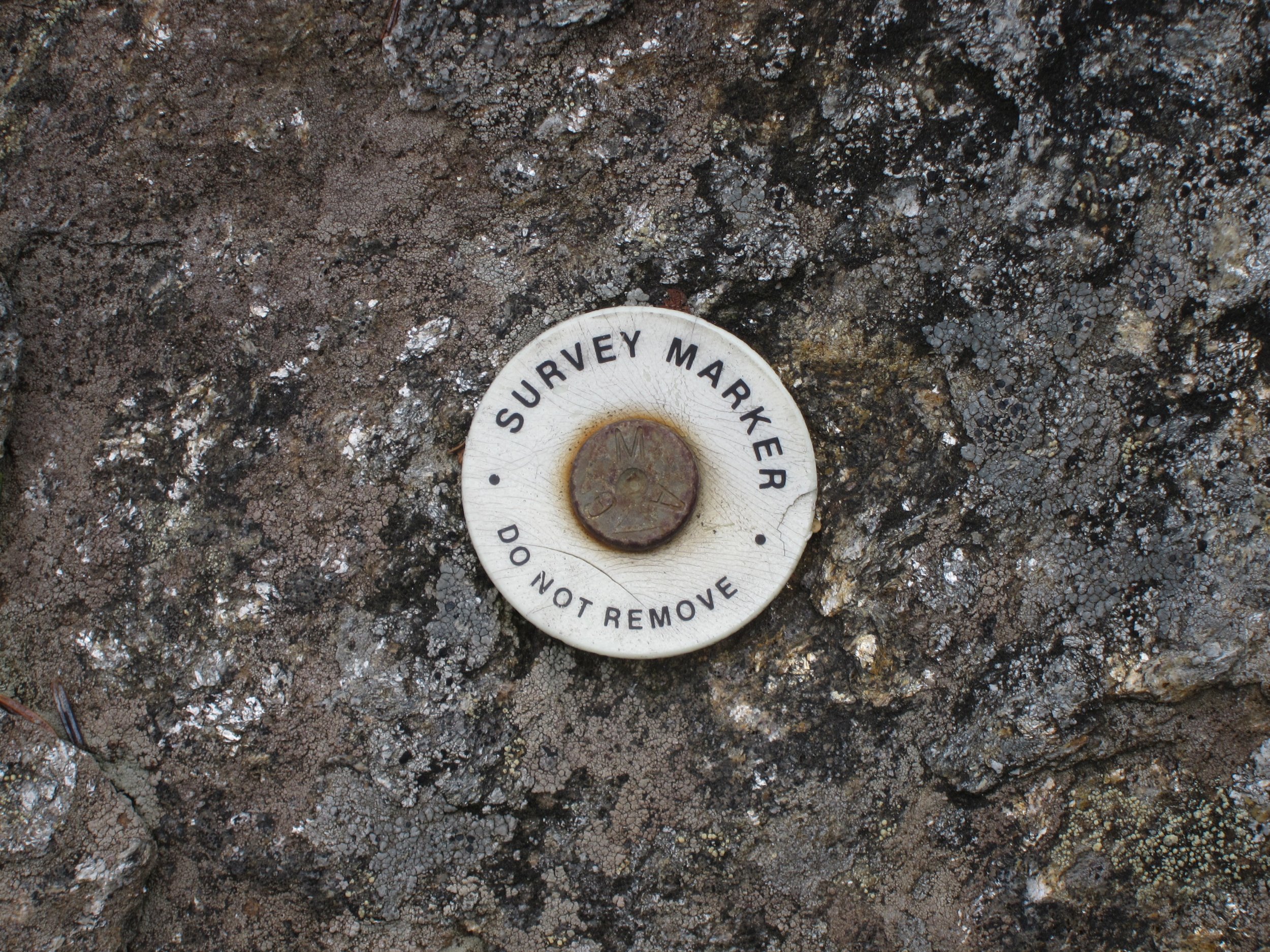
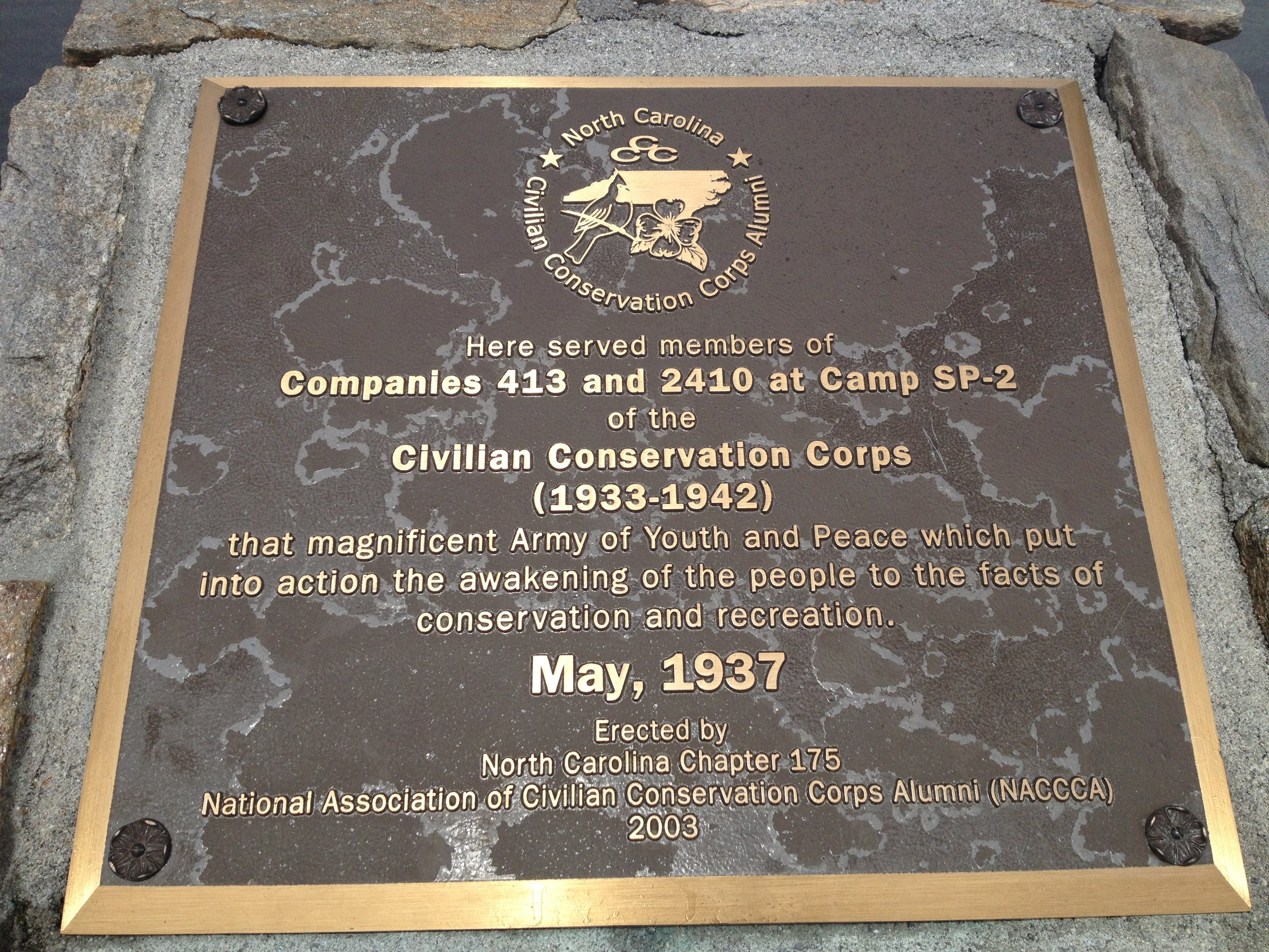
If there is a resident spirit among the strata of structures and memories atop the mountain, one might argue that is the Reverend Elisha Mitchell (1793–1857), for whom the mountain is named, an educator and geologist who confirmed it as the highest peak east of the Mississippi in the mid-nineteenth century (the previous candidate for the region had been nearby Grandfather Mountain). Mitchell fell to his death from a nearby waterfall while attempting to verify his earlier measurements, which had been challenged by his rival and former student Thomas Clingman, of Clingman's Dome fame. In 1881–82, the USGS confirmed Mitchell's findings and named the mountain after him. His grave was subsequently moved to the summit. In the collections of the University of North Carolina at Chapel Hill is the pocket watch Mitchell was wearing when he fell; it stopped working upon his fall, forever marking the precise moment when the great man was knocked unconscious and drowned in the pool.
I wish Mitchell's tomb were the only man-made structure on the summit. That would be a fitting tribute. But there is now the latest iteration in what has been an apostolic successsion of towers, quite underwhelming in its massive blandness. Like Mount Rushmore, where there was once a quaint, Brady Bunch–era site is now a jingoistic trip seemingly designed by Albert Speer. What is we left the old, ill-conceived structures on such mountains to remain and crumble down, like the Appalachians have beenb doing for eons?
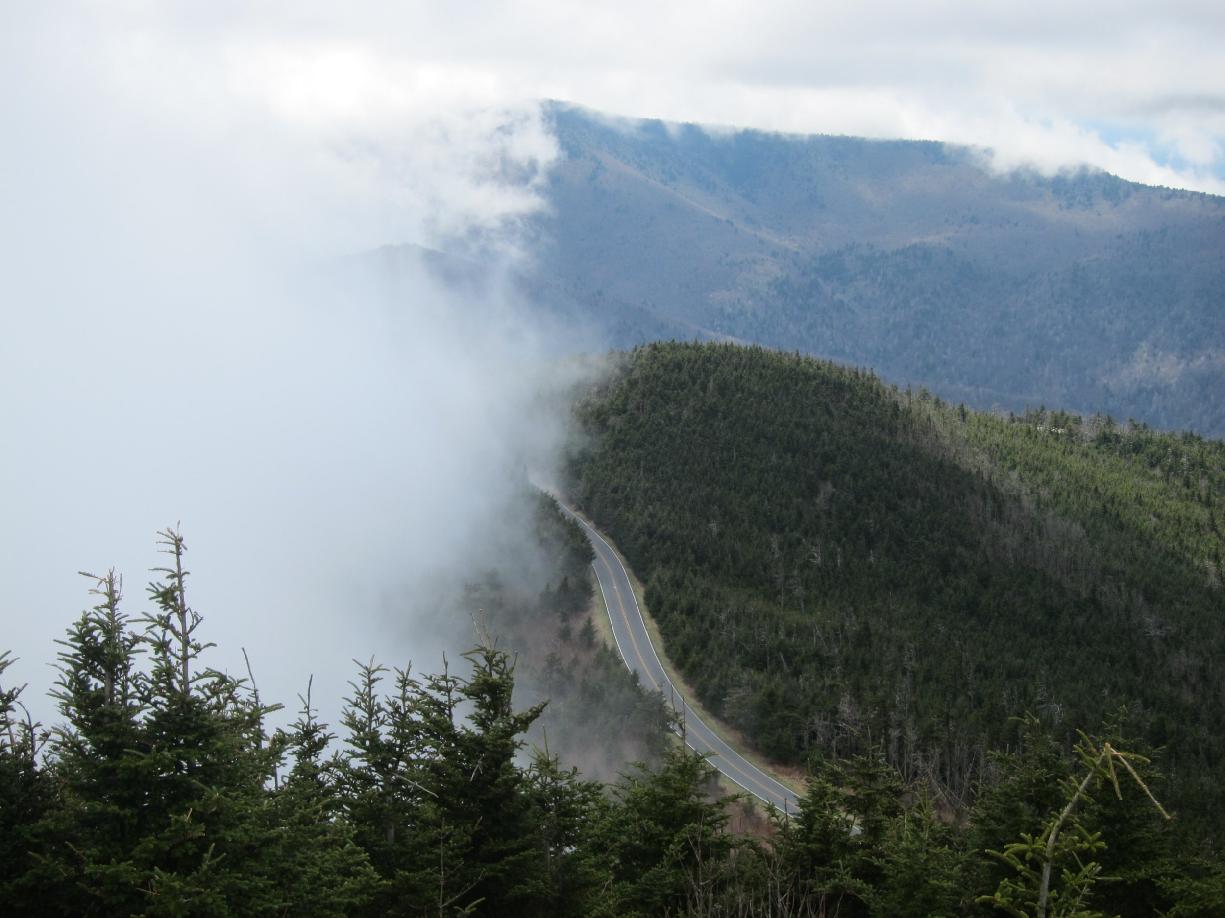
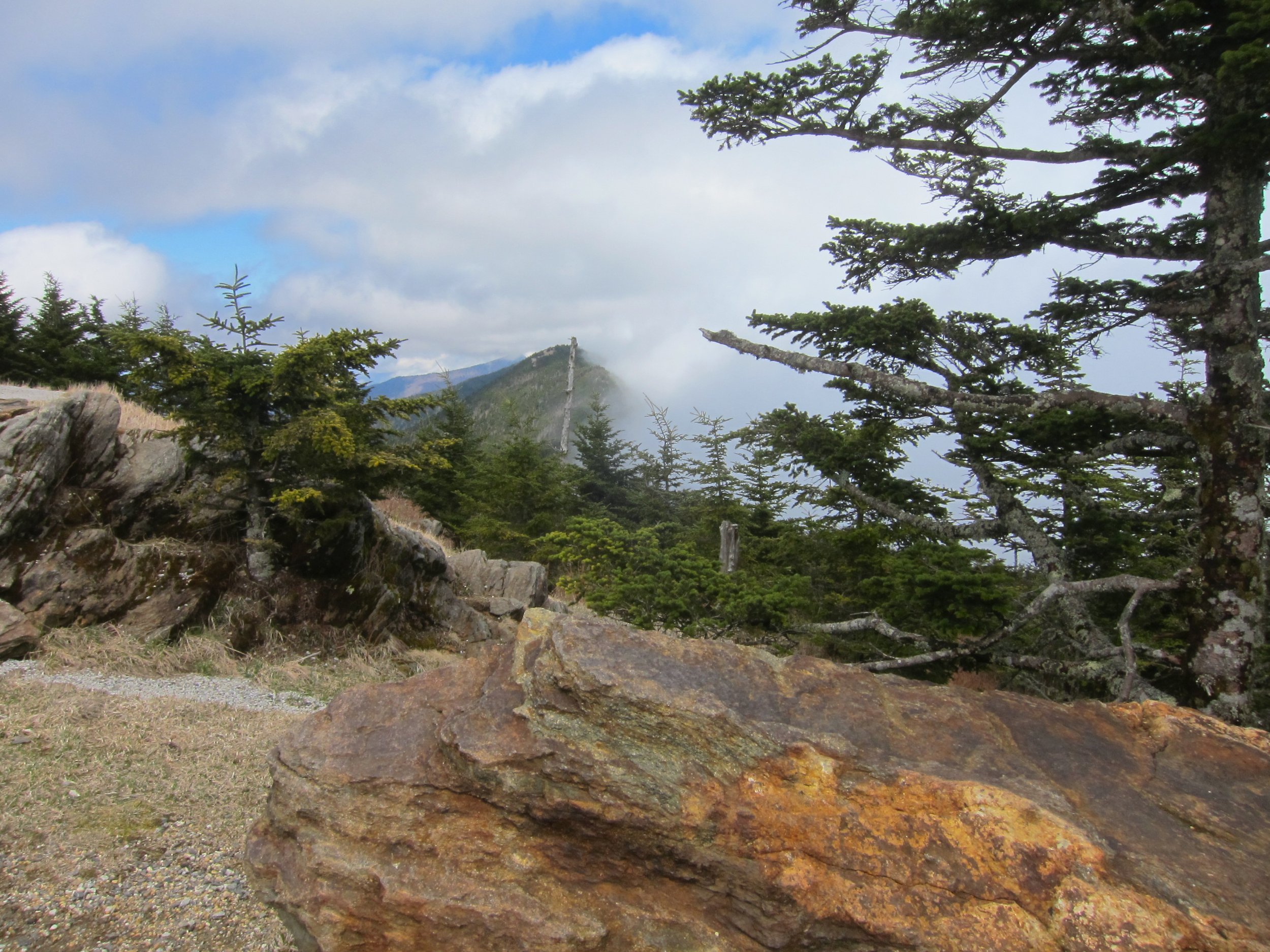
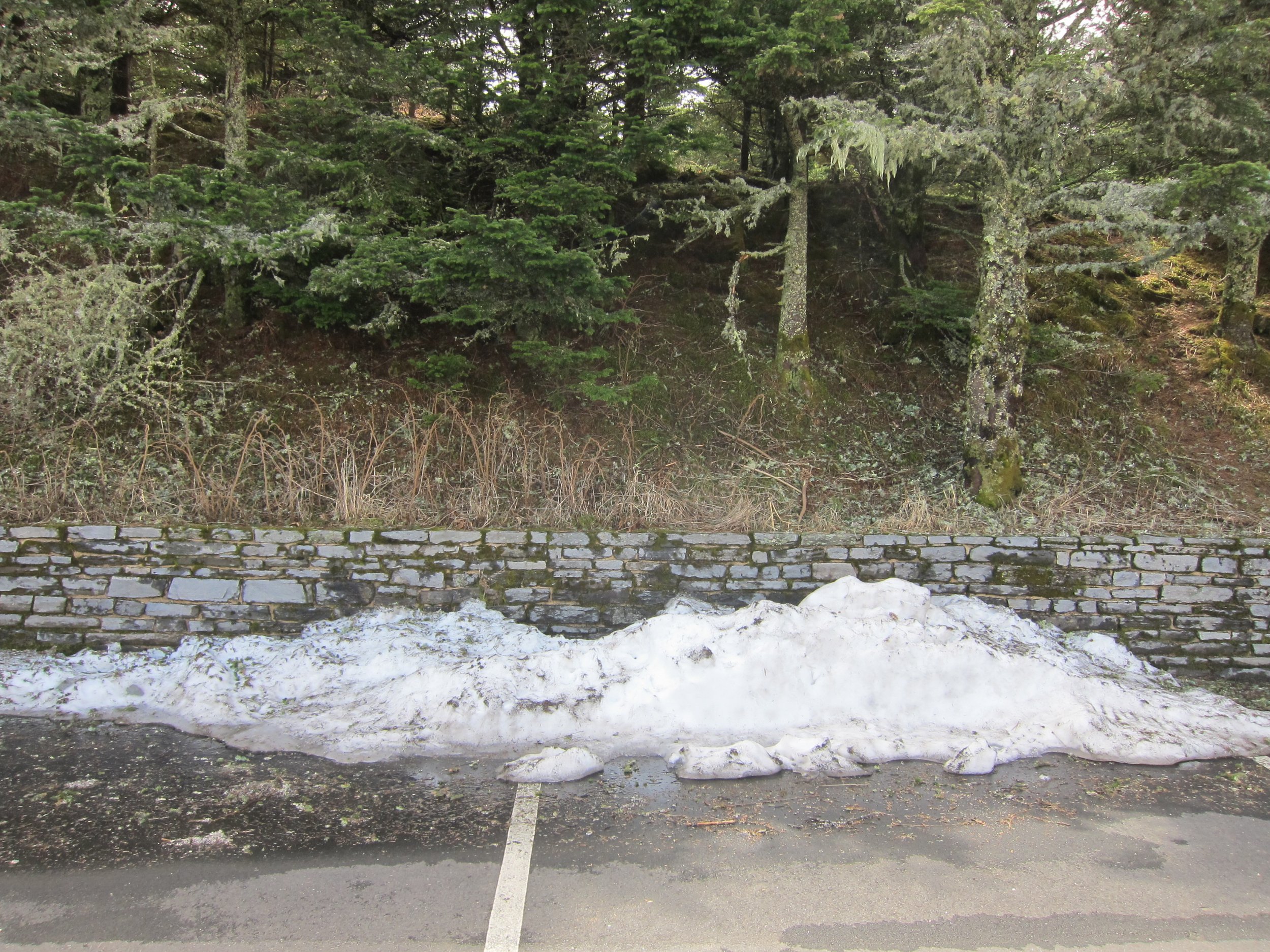
Both times I visited Mount Mitchell I drove up Route 80 from Marion, North Carolina, a hellish little mountain road to drive, especially in the fog, which was a veritable pea soup on my 2013 trip. I should have turned back, but summit fever, I suppose. Driving the Blue Ridge Parkway in dense mist, one hand filming a video and the other hand keeping the car from plunging into the valley below, is not recommended. Miraculously, the summit area was above the maelstrom, and I got dramatic video footage as well as some decent stills: the highest natural point in the United States east of Lone Butte, Colorado, more than 1,100 miles to the west.
The next day when I climbed Mount LeConte the fog stayed away, but the signature "smoke" of the Great Smoky Mountains returned when I paid my last respects to Clingman's Dome.


Foggy Mountain Breakdown
The fog encountered below the higher elevations of Mitchell was the most intense I have ever experienced. Winding along the curves of the Blue Ridge Parkway with next to zero visibility was, I thought, borderline insane, especially when the views (and thus videos) from the summit would be nil. Imagine my surprise when the fog lifted and the sun shined on the Black Mountains below.