September 20–21, 2014
With Clement Wagner
#15 Moriah (4,049 ft.)
#16 Middle Carter (4,610 ft.)
#17 South Carter (4,430 ft.)
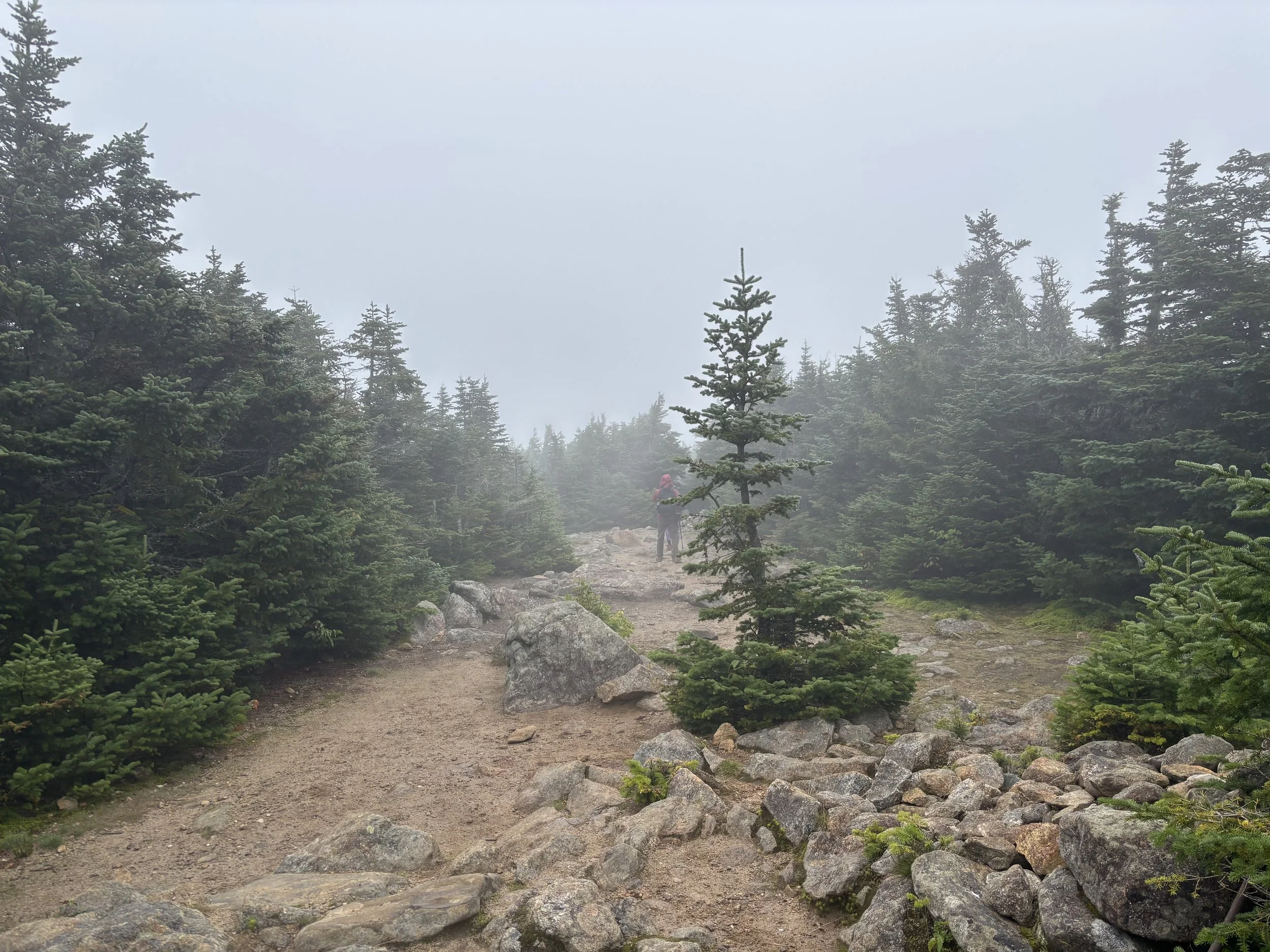
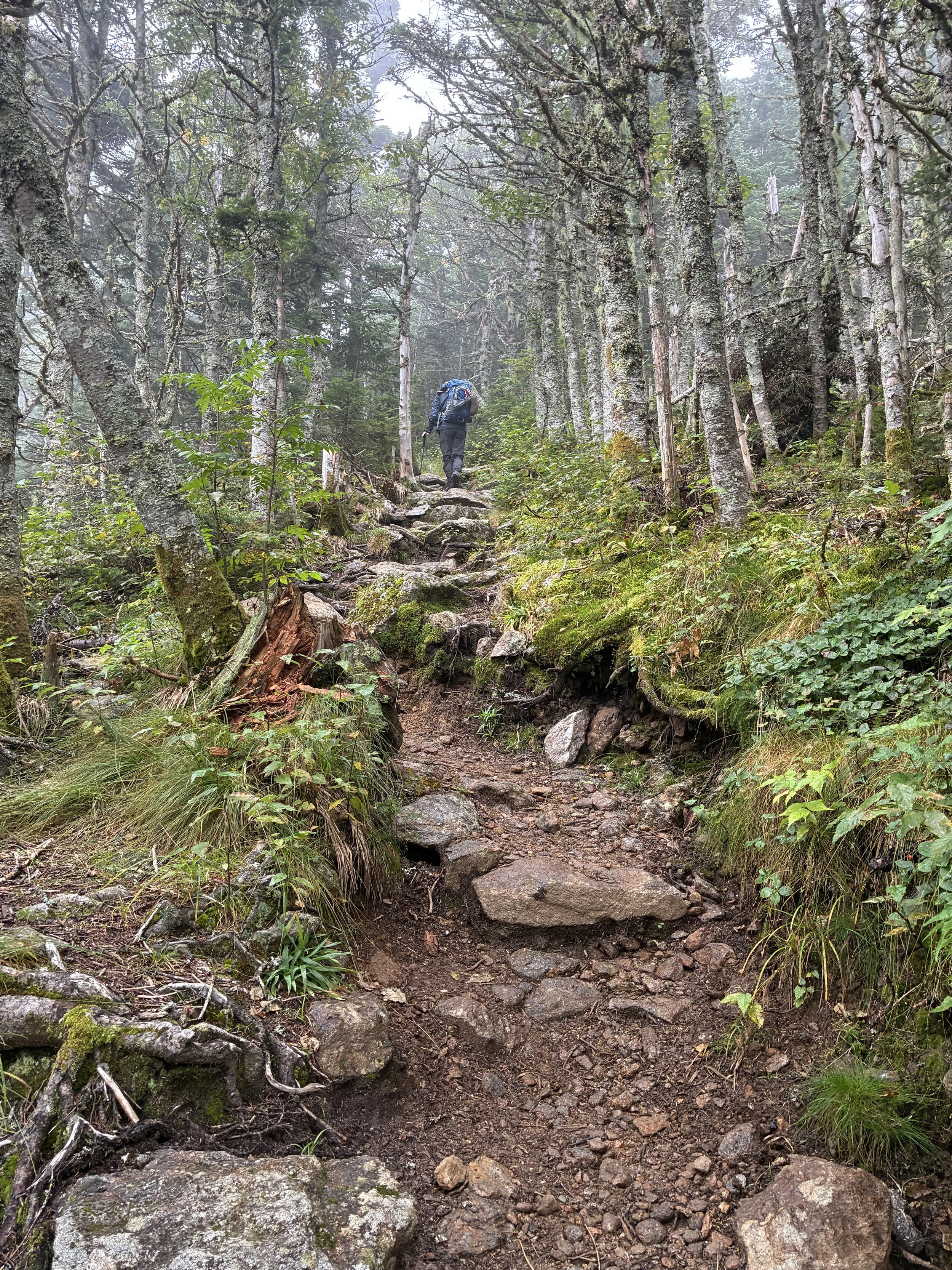
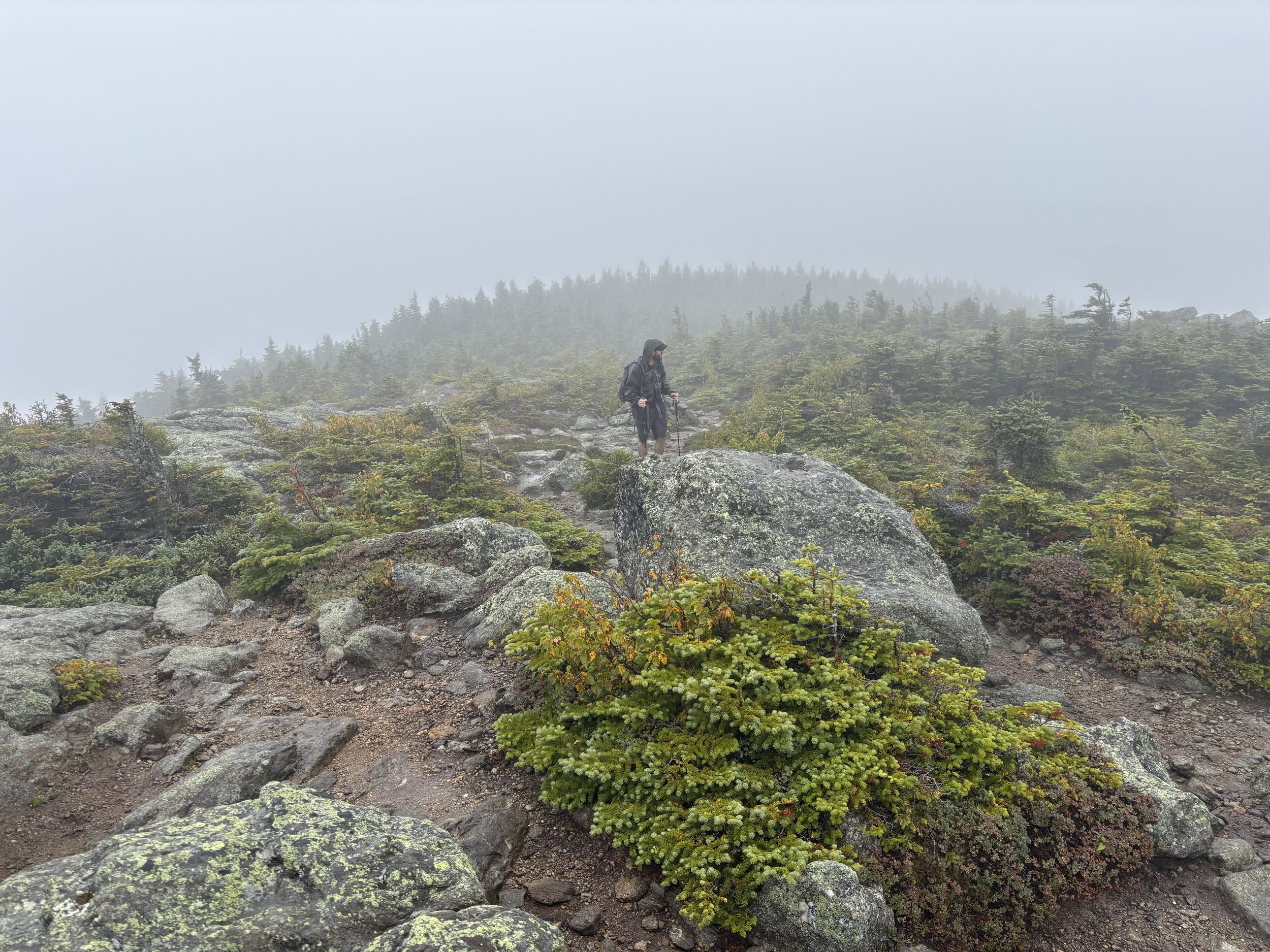
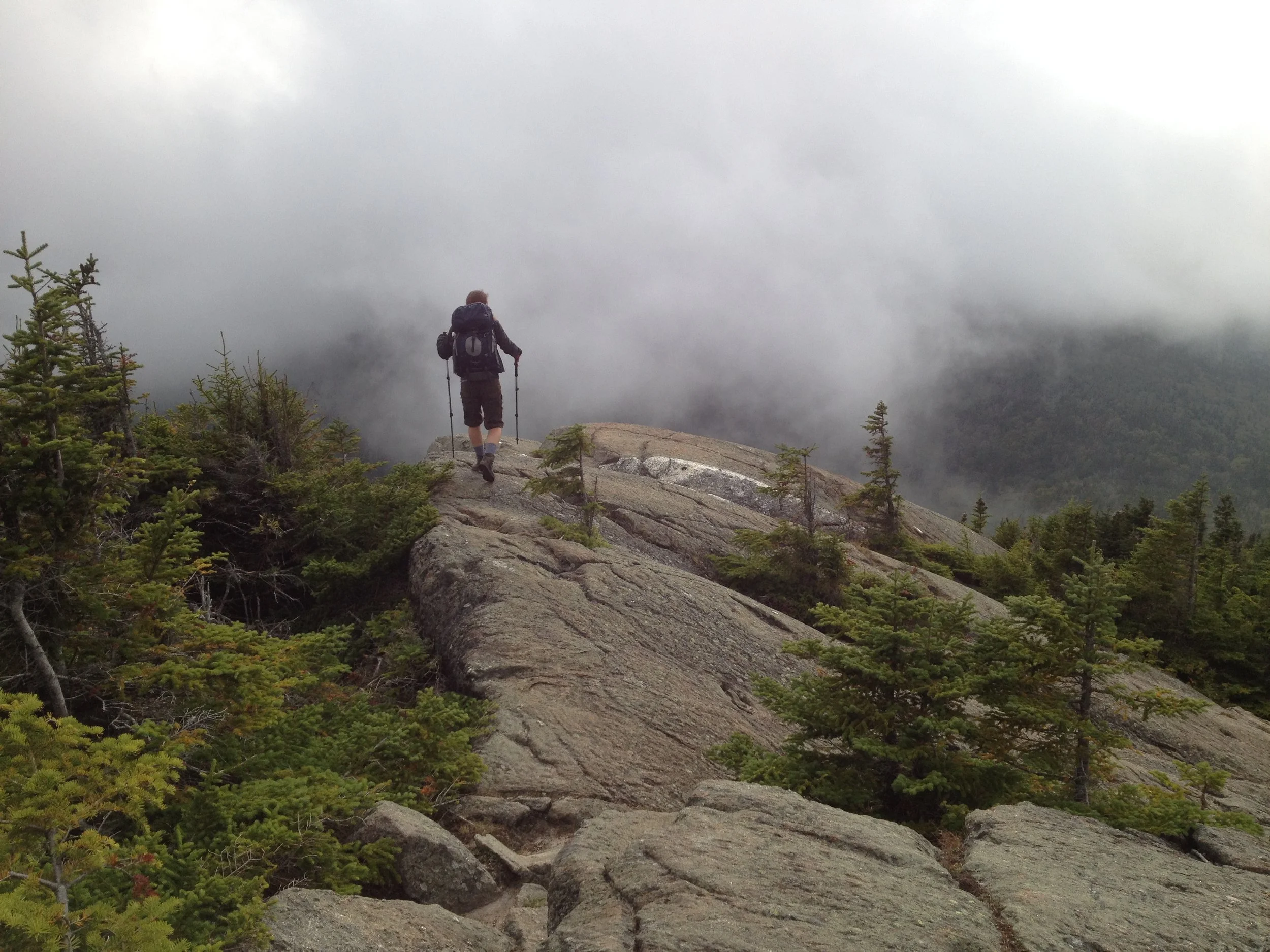
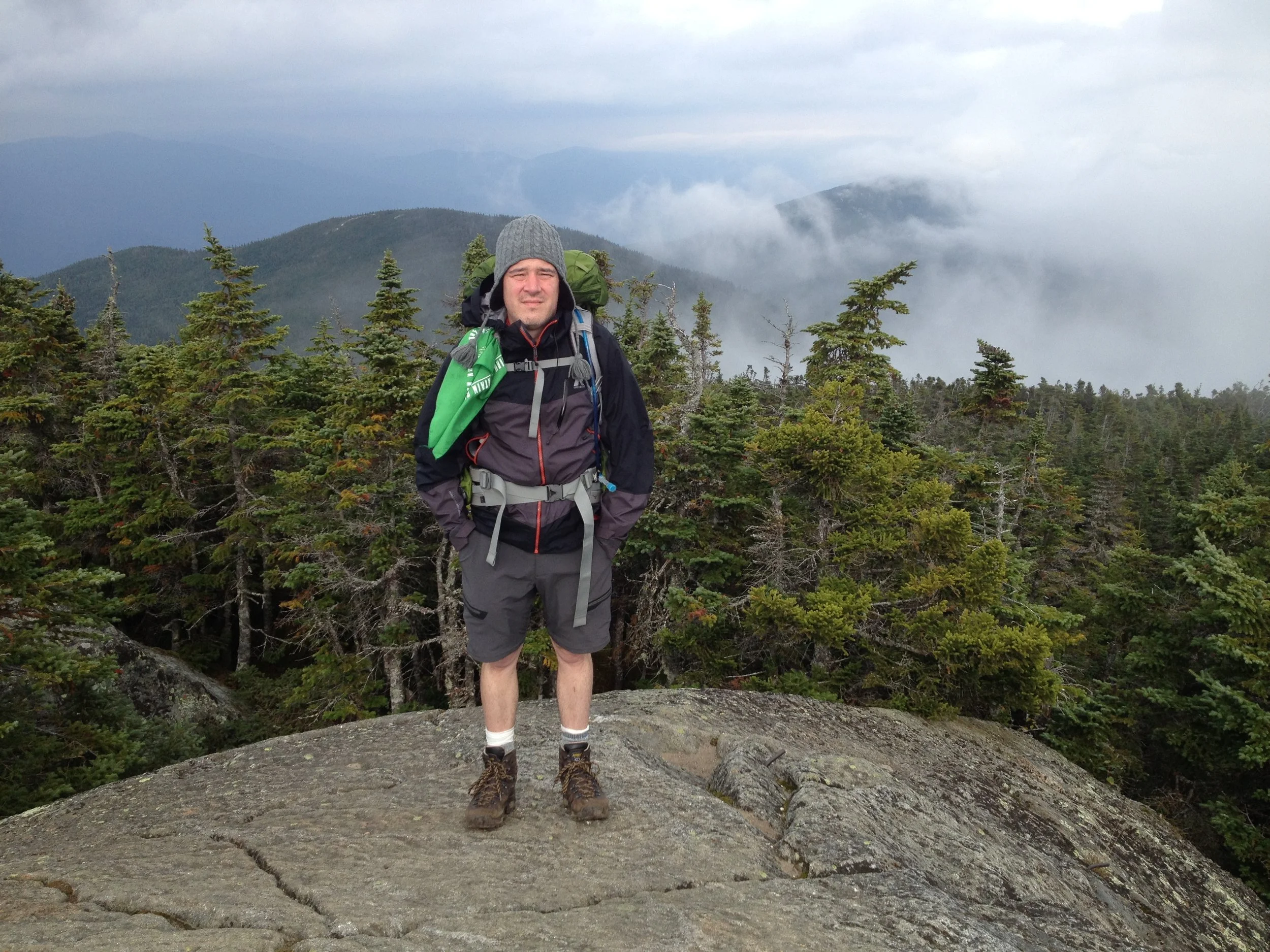
Clem and I stayed at Pinkham Notch the night before. We were planning to camp at the Imp the following night, and I was concerned because cold and wind were predicted and this was my inaugural camping trip at altitude in the Whites. The forecast held, but so did my sleeping gear. At the campsite, we once again ran into Clemencia "Sky" Caporale, who was teaching a thru-hiking class. Pitching the tent on the platform was challenging in the wind, as was hanging the bear bag. The wind howled; we all slept poorly. We hiked south along the ridge the next morning, but it began to rain about midday and we abandoned our attempt to make it all the way to Carter Dome. Instead, after summiting Middle and South Carter, we descended the Carter Dome trail to Nineteen Mile Brook.
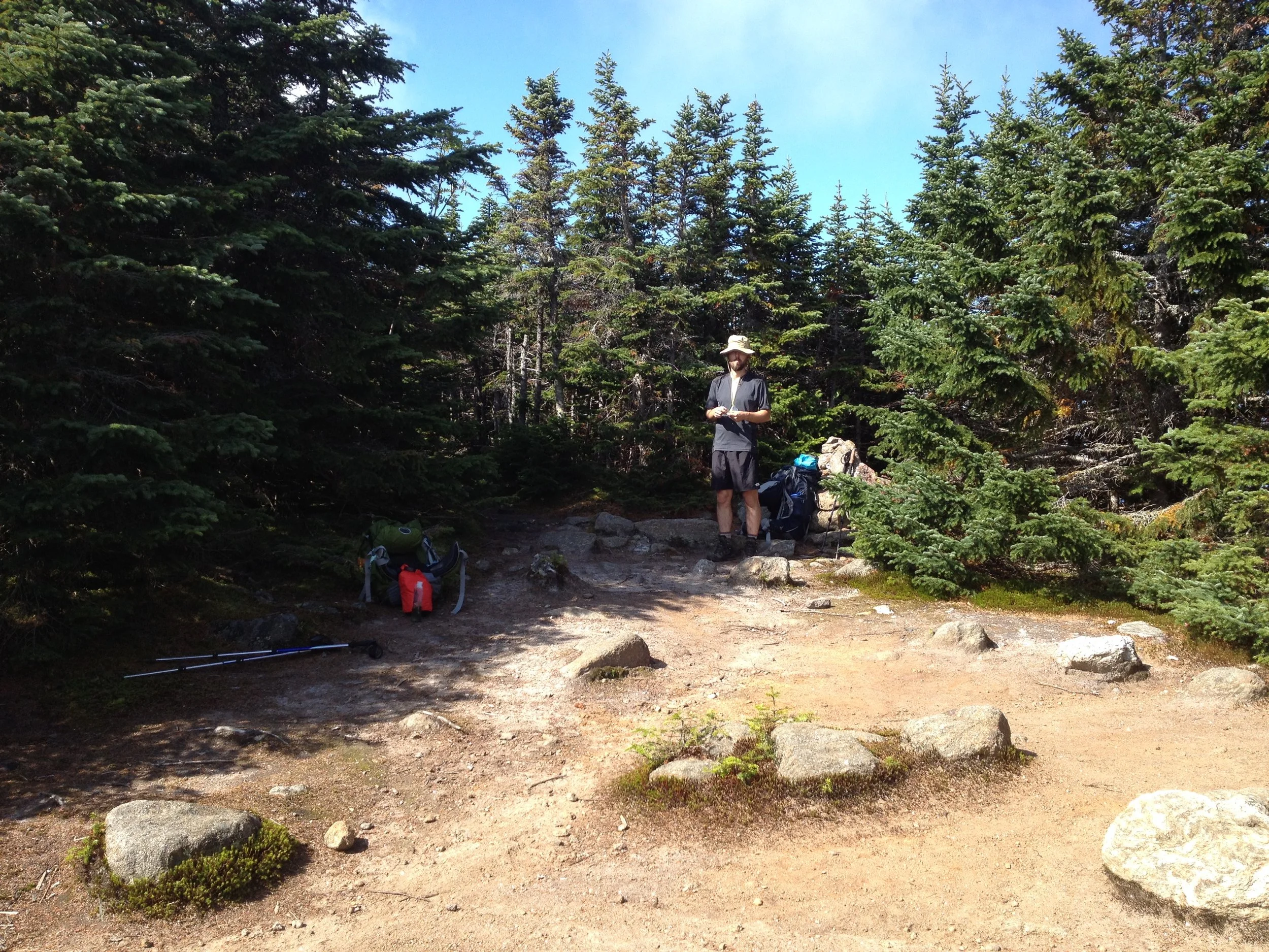
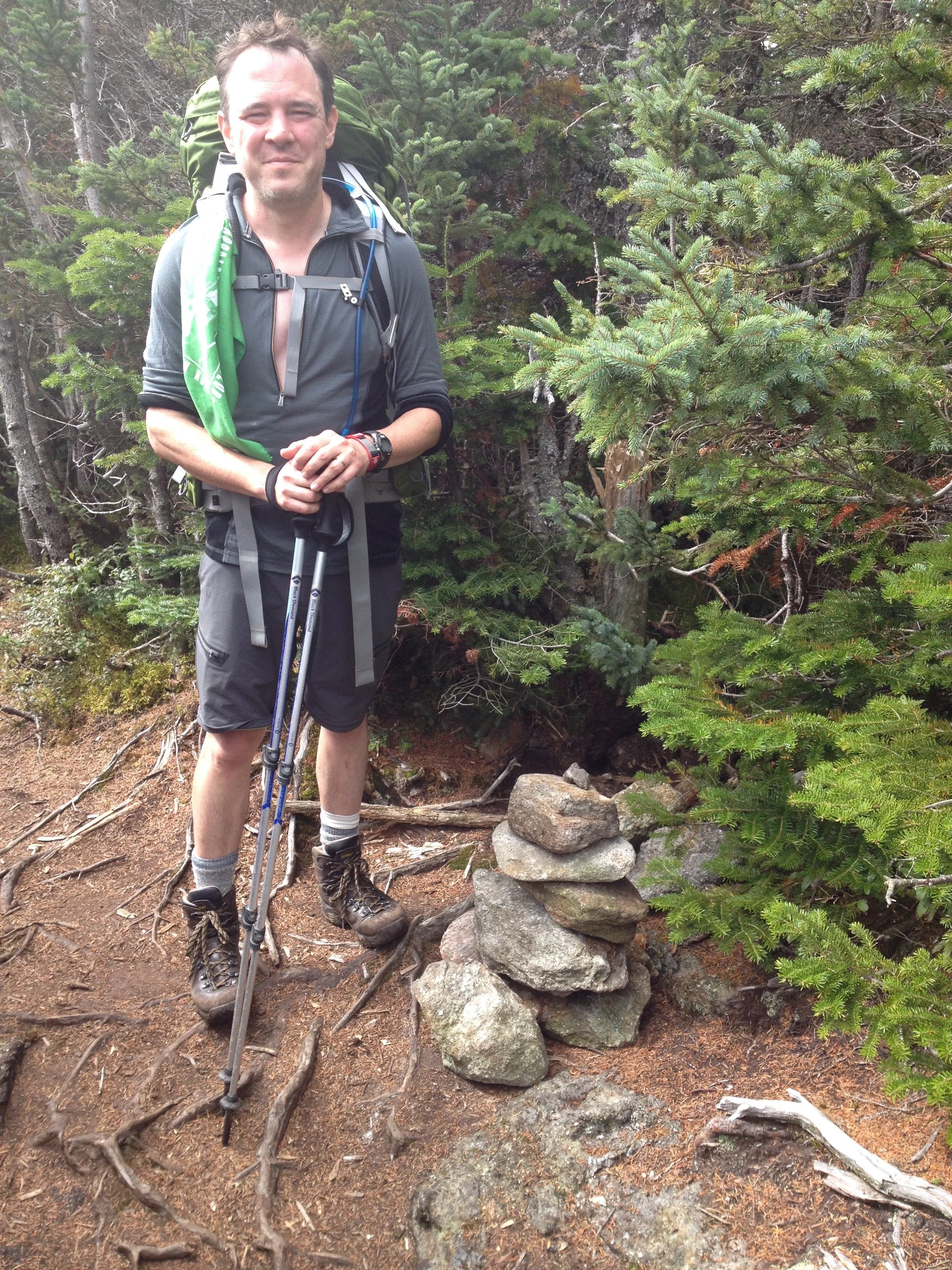
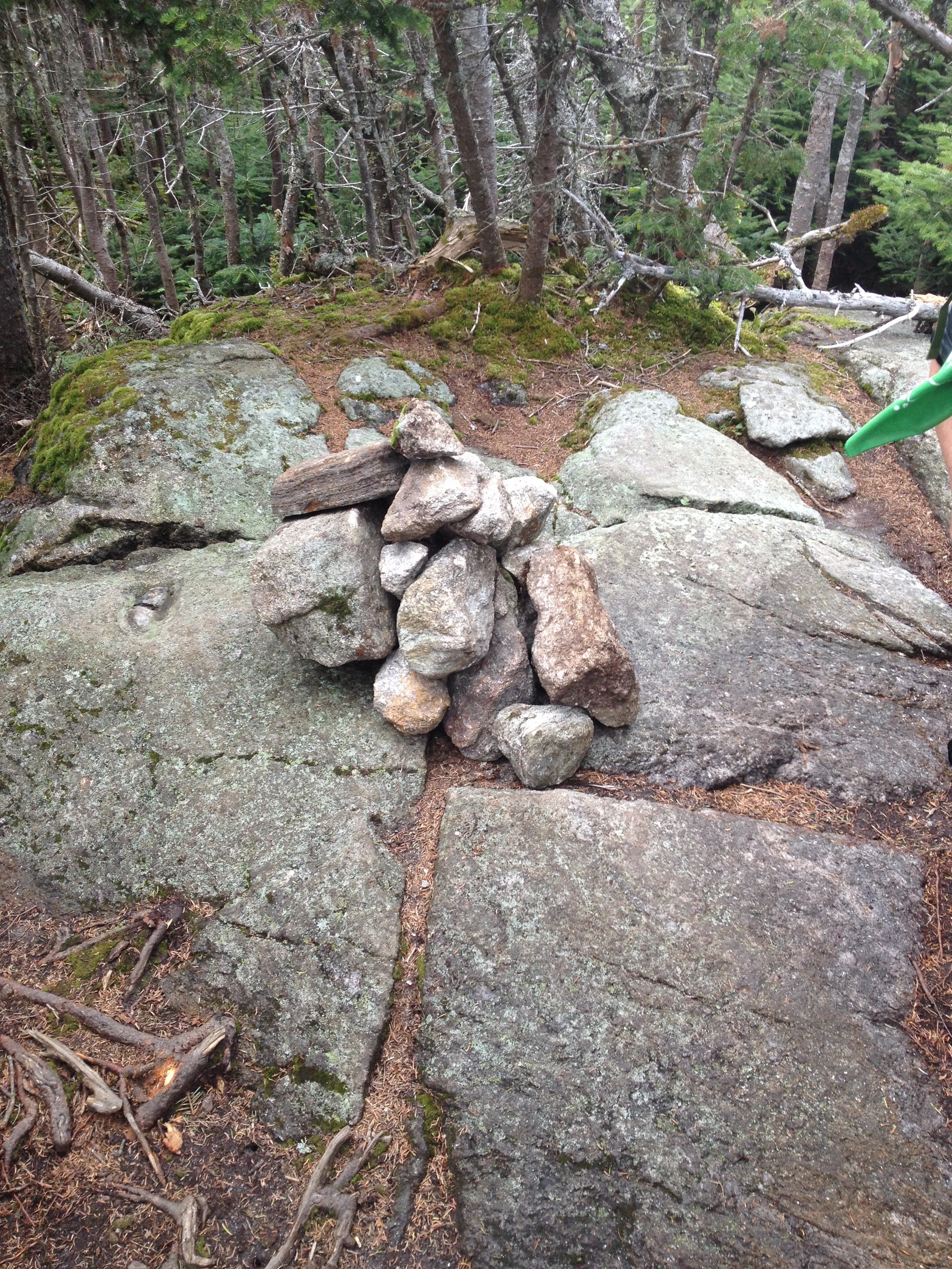
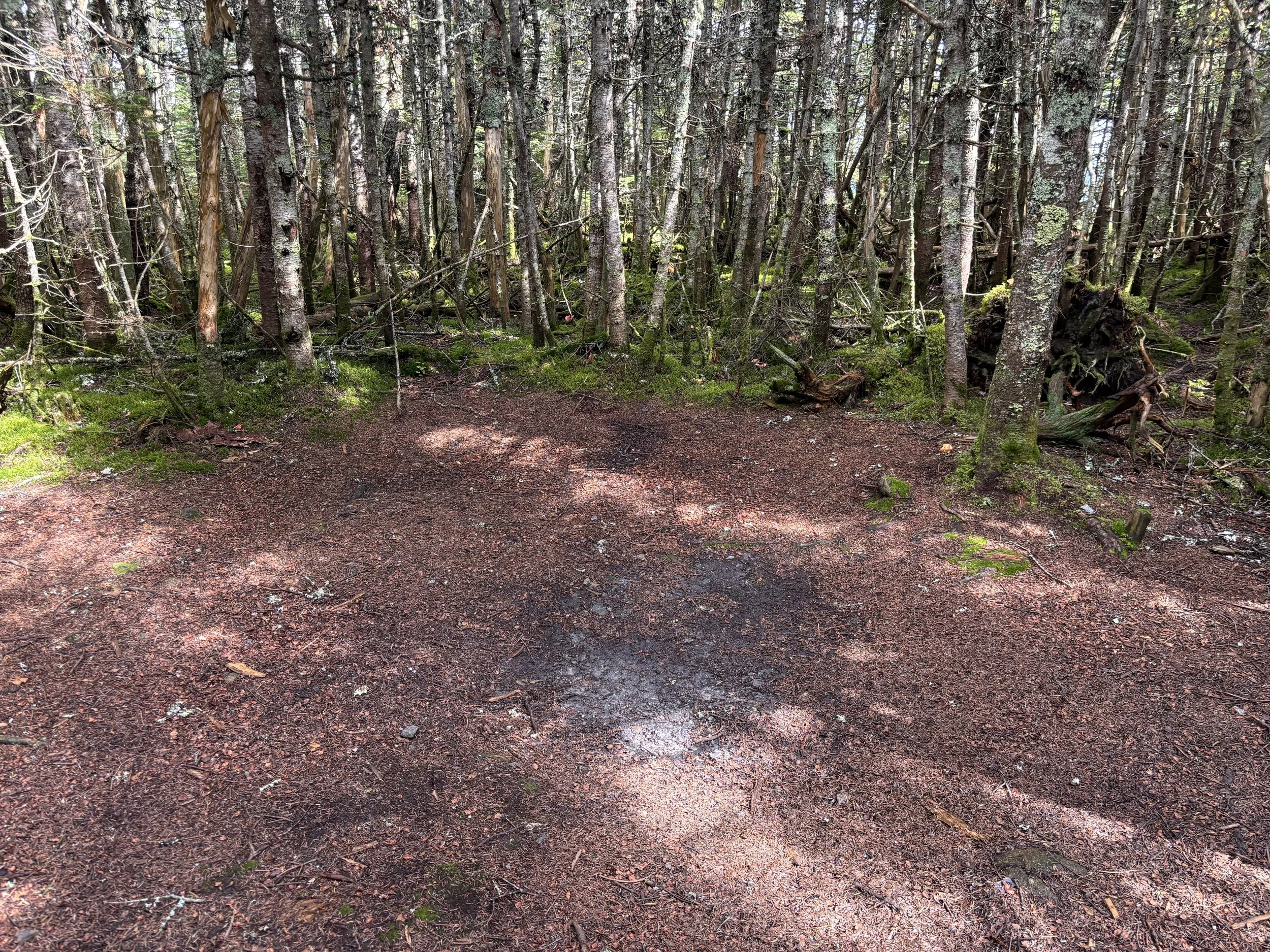
Only twelve years after the original hike did I finally get pictures from Clem proving that I had summited Middle (below left) and South Carter (below right). I had taken a shot of an open but wooded summit area, then Clem on some planks over a bog a few minutes later, and then the sign for the North Carter Trail, which makes me think that the summit area must have been North Carter. Until receiving the two photos that he took, I had no direct evidence we had ditched down the Carter Dome Trail and not the earlier North Carter Trail except memory and common sense. But the time stamp and image sequence prove otherwise, thankfully!
September 4, 2026
Solo
#44 Wildcat [A] (4,422 ft.)
TK
September 5, 2026
With Brian Tucker
#45 Carter Dome (4,832 ft.) with Mt. Hight
TK